


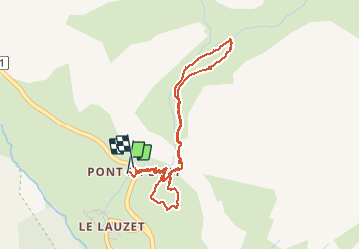


5.2 km | 12.8 km-effort

User


FREE GPS app for hiking
 SityTrail
IGN / Geographical institutes
SityTrail World
The world is yours!
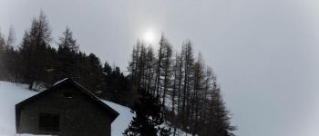
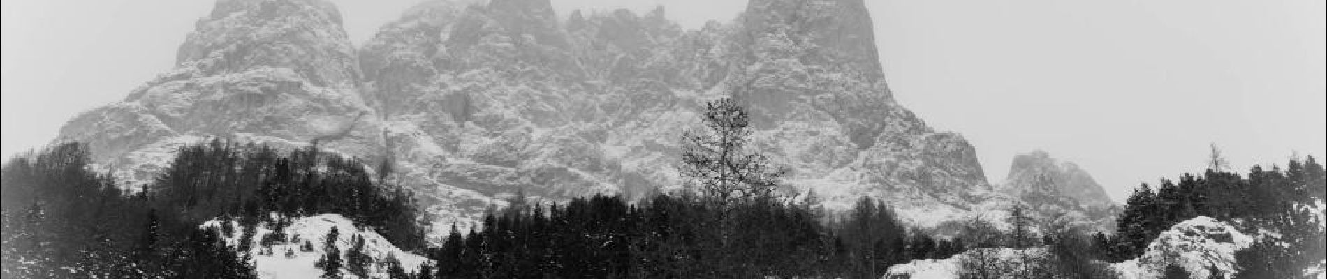
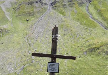
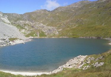
Trail Snowshoes of 4.4 km to be discovered at Provence-Alpes-Côte d'Azur, Hautes-Alpes, Le Monêtier-les-Bains. This trail is proposed by aja.
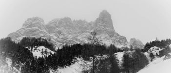
Pour découvrir l'alpage de l'Alpe du Lauzet sous la protection de l'Aiguillette du Lauzet et la Roche Robert. Belles vues sur les Pics du Combeynot et les abords du col du Lautaret.


Walking
Walking
Walking

Walking
Walking

Via ferrata

Walking

Walking
Walking